Type:
Residents
Year:
2020-
Status:
Area regulation
Location:
Tenvik, Larvik
Client:
Larvik kommune, Norway
Area:
38.000 m²
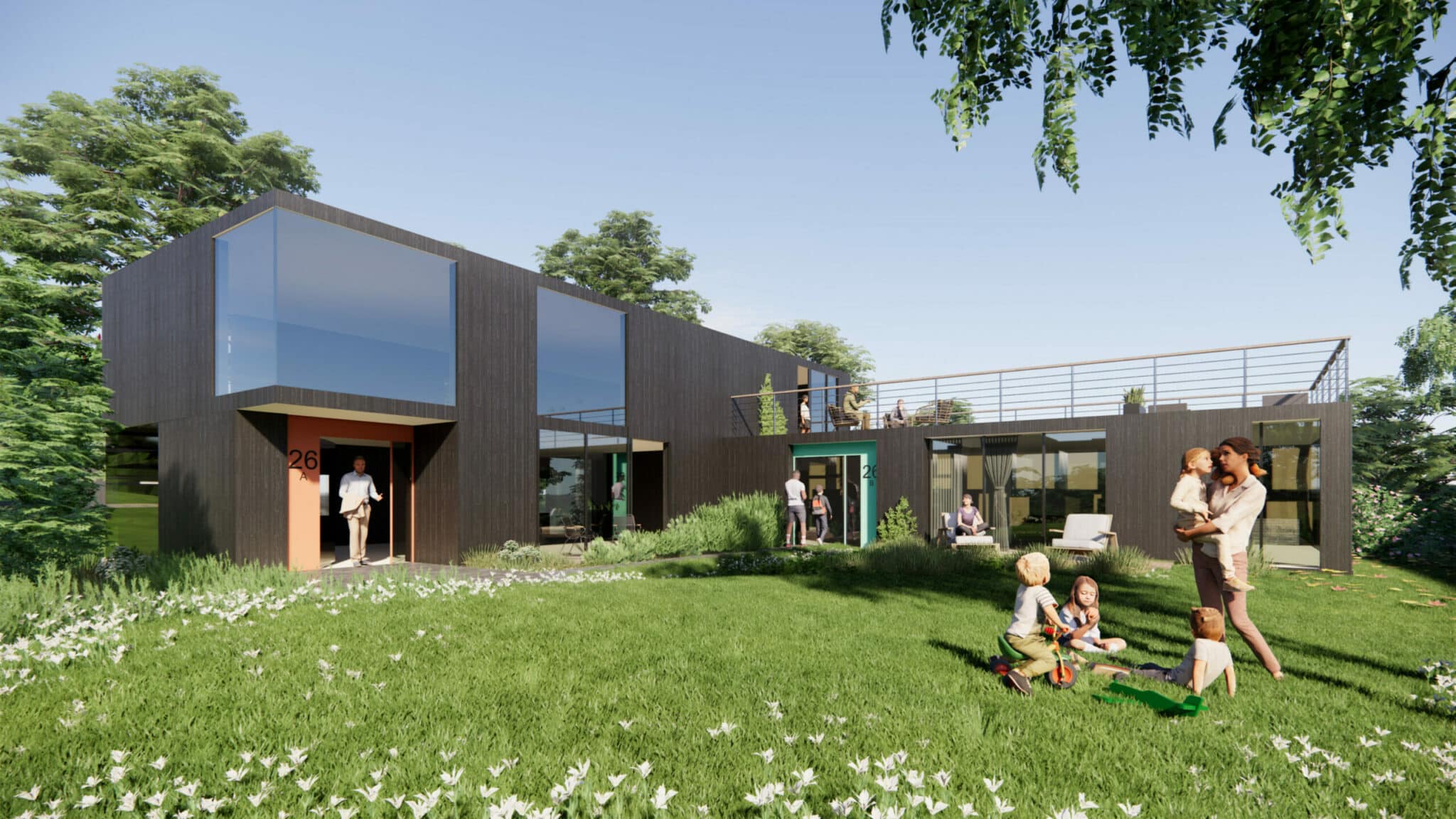
Through a mix of typologies nestled amidst forests and sea, we see an opportunity to create an attractive residential area just 1.5 km from Larvik city center.
The purpose of the area regulation is to facilitate an attractive, varied, and environmentally friendly housing and place development, focusing on diversity, new housing forms, local identity, and site adaptation. This is in line with Larvik municipality’s visions and their desire to stimulate increased immigration.
The new residential area at Tenvik will be located less than 1.5 km from Larvik city center. It has immediate access to established infrastructure, green areas, paths to the sea, and a golf course, and it is easily accessible by car, bus, bike, and walking from Larvik and the surrounding area. The location is characterized by scenic surroundings and sea views, with good sunlight exposure.
The area regulation covers an area of 80 hectares. The housing in the plan is distributed across 7 sub-areas based on three different housing typologies: low-rise blocks (2-4 stories), detached houses (2 stories), and townhouses (2-3 stories). The maximum utilization for the planning area is 38,000 m2 gross floor area, of which 2,700 m2 is surface parking.

The three typologies are low-rise blocks (2-4 floors), detached houses (2 floors), and townhouses (2-3 floors). The maximum utilization for the planning area is 38,000 m2 gross floor area (BRA), of which 2,700 m2 is surface parking.
 Park
Park
The planning area is divided into two by a square and a public park. The square will be equipped with seating areas, outdoor dining, bicycle parking, and simple furnishings. On the ground floor facing the square, there are plans for small shops and a café. The park will consist of existing vegetation and recreational areas with play and activities suitable for various age groups. From the square, a new pedestrian and bicycle path will be established, connecting to existing infrastructure north and south of the planning area.
 Square
 Park
Park
 Residential area